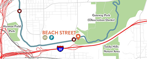
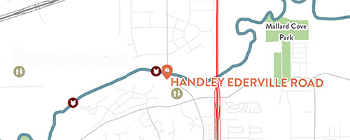
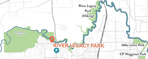
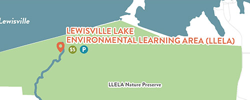
Accessing the Water Level information
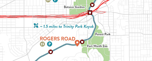
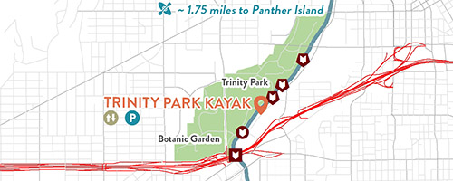
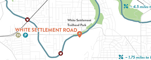
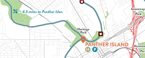
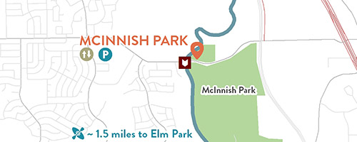
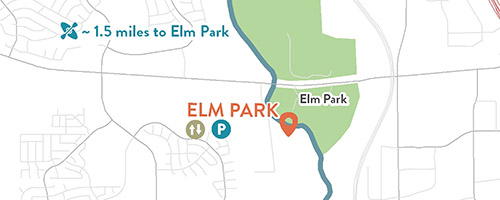
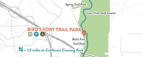
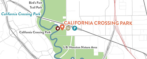
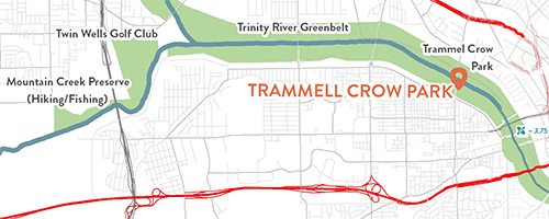
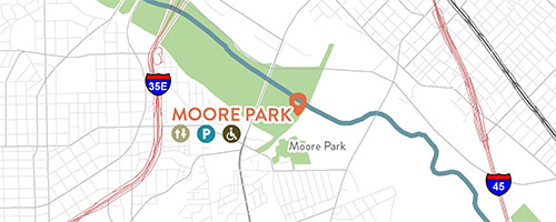
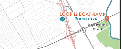
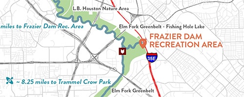
Click on the tiles above to access water level gauge information.
Important Information
Every effort has been made to provide accurate information in maps, inventories and segment descriptions of this trail. However, river conditions change continually and river corridor infrastructure and facilities, including dams and access sites, are subject to modification. Users of the water trail have primary responsibility for their own safety and are encouraged to investigate river conditions and available access sites while planning a trip. The agencies, organizations and individuals involved in development of the water trail plan and maps provide the information in good faith and assume no liability for personal safety and property of trail users.
